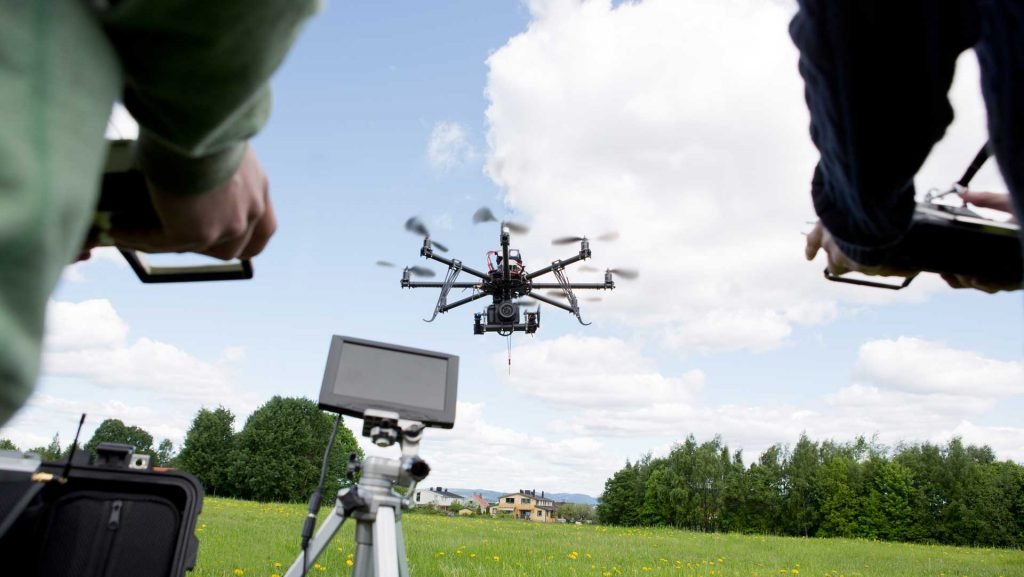
Thanks to its reliability, precision, and cost-effectiveness, evaluating sites using unmanned aerial vehicles (UAVs), more commonly known as drones, are becoming increasingly popular.
UAVs can collect reliable, up-to-date data and provide a range of options, including drone aerial mapping and aerial surveying, depending on the needs of the customer.
Here are the differences between aerial mapping and surveying. So, before you look for “aerial inspection drone” read the article.
Aerial Mapping
The method of making planimetric maps with contours and characteristics derived from aerial imagery of aero-triangulation is defined in aerial mapping. Aerial mapping starts with photogrammetry, the method of using images taken from a UAV to collect precise geometric measurements.
Ortho-photos – Aero-triangulation images are the 3D base product used to produce a variety of other things, such as ortho-photos. These are created and processed to take away perspective and the impact of the landscape by overlapping vertical aerial photographs. Ortho-photos are geometrically corrected and provide high-quality detail, uniform scale, and true geometry, offering a detailed terrain surface representation.
Digital Elevation Models – In terms of height, this offers a digital image of the ground surface. It is useful for topographical mapping of each tree, structure, and entity, as well as for measuring earthworks and volumes of stockpiles.
Using up to thousands of images using points of general information and airborne GPS, high-quality aerial mapping techniques are accomplished with effective aero-triangulation or block changes.
Aerial Surveying
Aerial surveying is a general concept relating to the gathering of data from an airborne device such as a UAV. Data can be obtained from multiple sensors for remote sensing, from still and video cameras to thermal, multispectral, and hyperspectral sensors.
By quickly streamlining what was once a time-consuming, expensive, risky, and difficult to execute the task of conducting aerial surveys, UAVs are transforming the face of skilled surveying. Some UAVs are planned for high-resolution surveying purposes. These are capable of collecting and translating aerial images, down to centimeter precision, into geo-referenced 2D mosaics, 3D surface models, and point clouds.
Other UAV Capabilities
UAVs can be used for:
Aerial Acquisition – This relates to the method of preparing and organizing flying missions by the use of UAVs to maintain and run airborne sensors and to ensure proper storage and arrangement of all information for further analysis.
Aerial Photography – Aerial photography using UAVs is much simpler and cheaper than using other options, such as airplanes, helicopters, kites, or blimps, the most widely used feature of a UAV. Aerial photography is primarily used because the dimensions extracted are not reliable for applications such as event photography, sculpture, and other types of visualization and illustration.
Aerial Mapping vs. Ground Surveying
Which one is the good option? Aerial surveying of ground surveying? Aerial surveying is overall the better option because it’s safe, efficient, and more effective.
- However, scenarios where a ground survey may be preferred over aerial mapping:
- Vegetation and/or changes are heavily overshadowed by the building site.
- Highly detailed structure mapping and other upgrades are needed.
- Specifications of precision surpass what is possible for photogrammetric approaches.
- It is not possible to wait for clear visibility.


